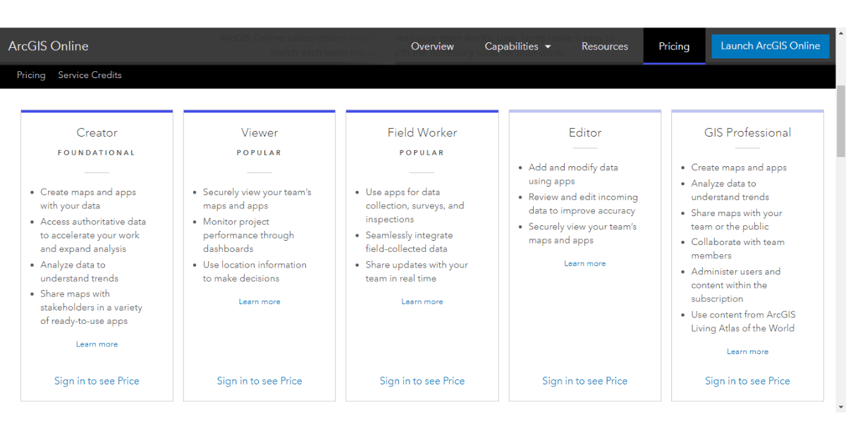
ArcGIS Online subscriptions have long been considered an add-on to the ArcGIS Desktop licenses. The tables might turn with the recent introduction of user types,...
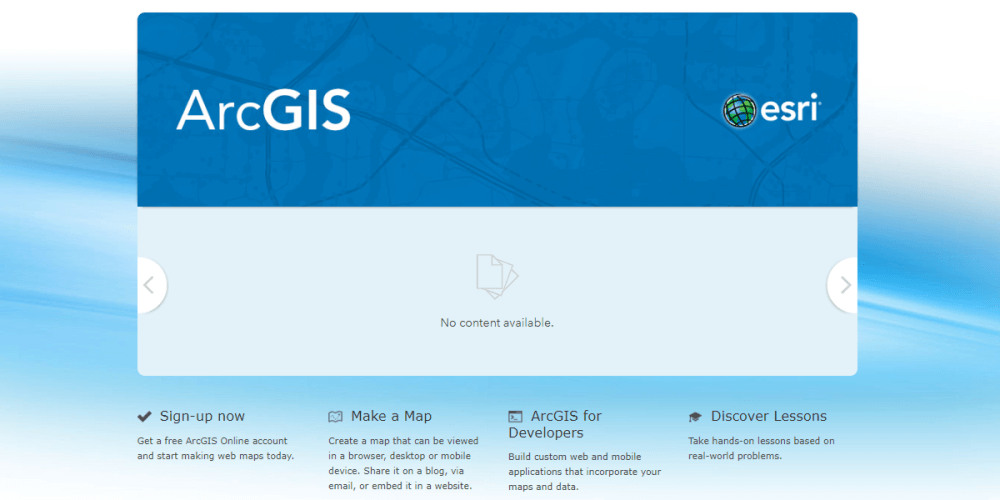
ArcGIS Online is a cloud-based GIS platform for using, creating, and sharing maps, apps and data within and across organizations. You can try out ArcGIS...
Cloud computing has revolutionized the ICT landscape and is a catalyst for digital transformation. But the adoption of Cloud GIS has been slow and GIS...
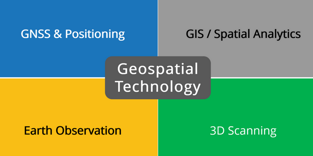
The GeoBuiz 2018 Report presents a bright outlook for the geospatial industry and predicts a larger role for it in the Fourth Industrial Revolution. Geospatial...
The remote sensing industry is growing exponentially with the proliferation of satellites, drones, big data analytics, and AR/VR as key drivers. Increasingly GIS experts and...
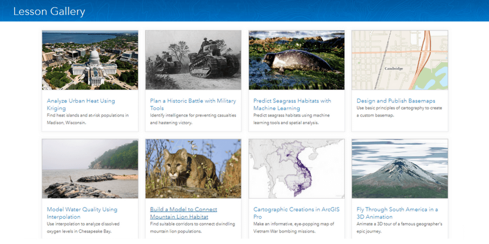
I just completed Essential Statistics for Data Analysis using Excel and I realized that statistics can be very enjoyable. Especially when you develop hands-on skills...